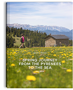

The Albera Mountain Range is the name given to the eastern section of the Pyrenees, from Le Perthus mountain pass down to the sea. It separates the Empordà plain from the Roussillon plain and, since 1659, by virtue ofthe Treaty of the Pyrenees, its crestline makes up the border between France and Spain.
The Albera Mountain Range is the name given to the eastern section of the Pyrenees, from Le Perthus mountain pass down to the sea. It separates the Empordà plain from the Roussillon plain and, since 1659, by virtue ofthe Treaty of the Pyrenees, its crestline makes up the border between France and Spain.
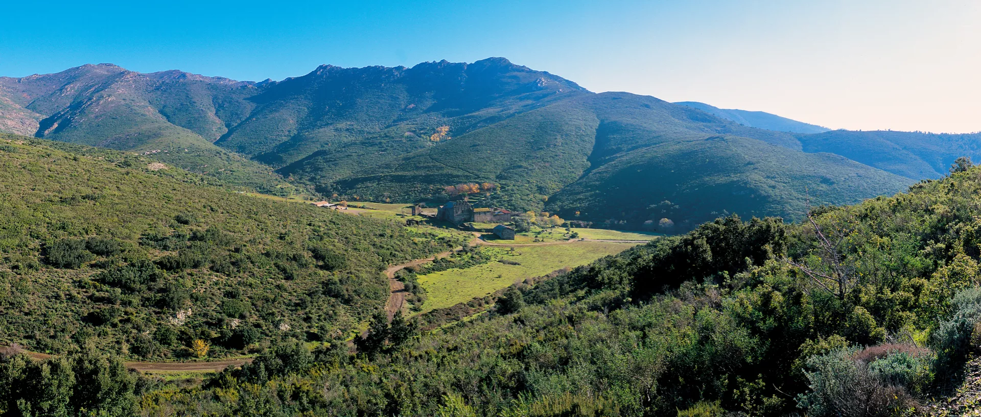
It consists of two very different sectors: the western side, Requesens-Baussitges, and the eastern side, Sant Quirze de Colera-Balmeta. The former has damper, higher areas and is almost 100% covered by forests with an extraordinary varied plant life, with cork oak, holm oak, chestnut, oak and beech forests and pastures at the top. The Requesens area covers the headwaters of the River Anyet, with splendid riverbank plant life, with willows, ashes and alders. The Baussitges area includes the top valley of the River Orlina, where the easternmost beech forests on the Peninsula can be found. The Sant Quirze de Colera sector is organised around the important monastery of the same name, a gem of Catalan Romanesque art, and it is an area with totally Mediterranean characteristics.
(including 1,275 hectares of nature reserves)