
Blog

Journalist en contentmaker. Gespecialiseerd in toerisme en sport.
From Pla de l'Estany we have made many proposals for you to discover the best corners of this region on foot, by bike or by boat.
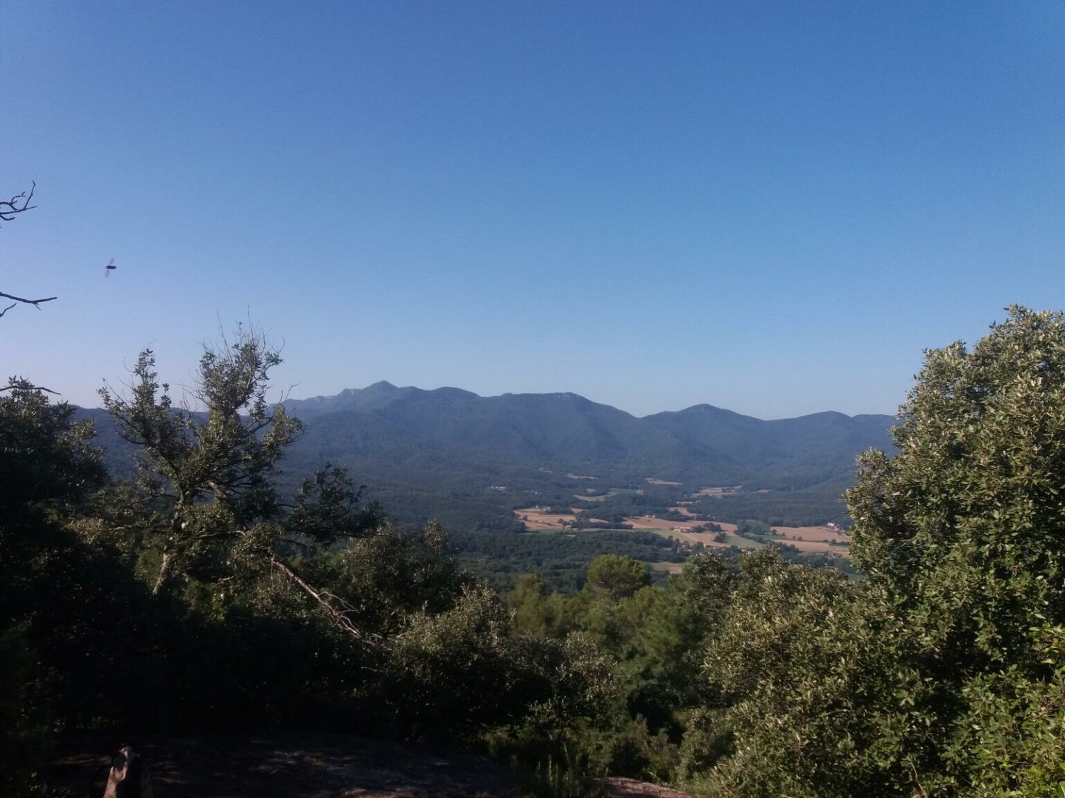
We have presented you with lots of ideas for discovering the best of the Pla de l’Estany region in the past, whether on foot, on two wheels or by taking to the waves. But now we are bringing you a brand new walking route which, given the distance (46 km), may initially seem like a daunting prospect, but which can be broken down into different sections so that you can take it at your own pace. However you decide to do it, we can promise you some exceptional vantage points from where you will be able to enjoy stunning views of the region, with numerous scenic treats to enjoy as you wander paths and tracks that are sure to leave a lasting impression.

Due to the long distances and mountainous terrain the route covers, it is advisable to break the Vall de Campmajor circuit into six stages between seven and nine kilometres each. The route circles the entire municipality of Sant Miquel de Campmajor and some of Porqueres, with well-signposted trails – using a different colour for each stage – mostly running through mountainous terrain and combining a variety of cultural and natural elements.

Stage 1. Bosc de Can Ginebreda – Prat de Sant Nicolau (8.1 km)
Stage 2. Prat de Sant Nicolau – Collferrer (7.2 km)
Stage 3. Collferrer – El Xalió (9.8 km)
Stage 4. El Xalió – La Cadevall (7.9 km)
Stage 5. La Cadevall – Can Pla (6.8 km)
Stage 6. Can Pla – Bosc de Can Ginebreda (9.2 km)
At the beginning of each stage you will find information panels and photos of the natural and heritage elements that you will encounter along the way, with lots of interesting sites to discover, such as the Can Ginebreda open-air museum, the work of the artist Xicu Cabanyes, the Hermitage of Sant Patllari and the Prat de Sant Nicolau, with its magnificent chestnut, officially listed as a monumental tree.

You will also get to explore the volcanic area of Puig Montner, the unusual undulations of the River Ritort, the Shrine of Santa Maria del Collell, the former Can Ginestar telegraph tower and the now abandoned village of Briolf.

The complete route is circular, but if you do it in individual stages you need to plan to leave a vehicle at the end of the section or consider each of the stages as a pleasant round trip.
If you are interested in exploring more of Pla de l’Estany, click on the link to discover another one of our recommended routes.
Photos: Pla de l’Estany County Council